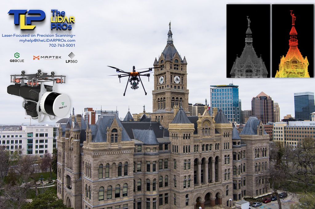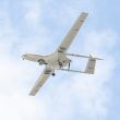

Beyond capturing images for news, marketing, and documentation, UAS are most commonly used for mapping and creating digital twins for BIM, as-built, and other deliverables related to Architecture, Engineering, Construction, and Inspections (AEC/I) industry work.
Until recently, photogrammetry has been the staple of these industries, and will be for some time to come. However, the cost of LiDAR has fallen significantly over the past few years, predominantly due to the inclusion of LiDAR in some electric vehicles, and other industries requiring live, precise measurements from the laser-driven sensors.
Both photogrammetry and LiDAR offer high value, and it may be confusing to some when considering the choice between using a LiDAR system or a photogrammatic camera platform to acquire data during UAS flight.
Photogrammetry is low-cost by comparison to LiDAR, and entry-level systems with software start as low as $5000 for a basic setup.
LiDAR costs begin around $50,000 for a quality setup with entry-level software. A working-grade LiDAR (capable of precise and repeatable accuracy) system cost begins at $75,000 with the ability to use the LiDAR sensor for both aerial and terrestrial (mobile scanning) operations. The dual-use feature is a major cost-savings and enables a small business to flex their dollars.
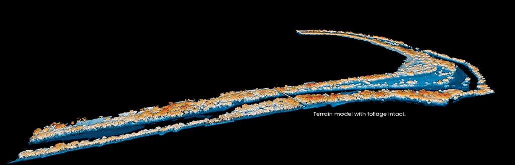
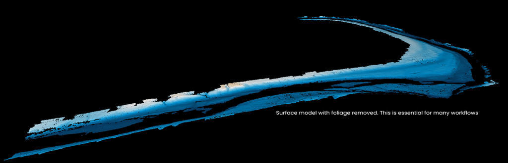
The greatest difference between photogrammetry and LiDAR is that LiDAR can penetrate foliage, providing a clean surface model, required for any earthwork or engineering activities. Being able to strip away trees, cars, buildings, etc. is a key feature of LiDAR.
LiDAR processing is significantly faster than photogrammetry processing. While tools such as Pix4Dmatic or Pix4Dmapper render point clouds and textured models relatively quickly, LiDAR processing is several orders of magnitude faster, as there are no pixels to process. LiDAR data is essentially a monster .csv file containing X, Y, and Z coordinates and even extremely large areas may be processed field-size for data validation. Adding texture/mesh adds time, yet in any scenario, LiDAR is much faster compared to photogrammetry. Many LiDAR sensors also include cameras which may be used for photogrammetry, enabling two datasets to be simultaneously acquired. Consider the differences in efficiency when budgeting for one or the other.
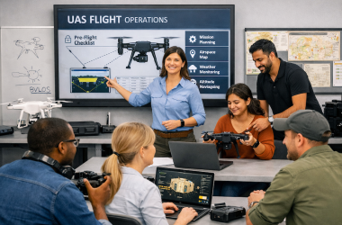
Whether working with LiDAR or photogrammetry, quality training is a significant value. LiDAR and photogrammetry each have nuances when not observed, which may be the difference between a successful capture and a wasted flight. The partnership of The LiDAR PROs and Sundance Media Group (SMG) provides deep, effective training to ensure efficient flight, decision-quality data capture, and post processing techniques enabling delivery for virtually any sort of client. The SMG team provides training for flight planning, data management, and how to use popular processing and delivery tools such as Pix4D toolsets, LP360 for LiDAR, MetaShape, Leica3DR, and other software applications commonly used in the AEC/I space.
Reach out to the SMG or LiDARPROs teams for more information about how LiDAR or Photogrammetry training may benefit your workflow and organization.